| ||||||||||||
| ||||||||||||
A joint service of the UK Ag Weather Center and the National Weather Service.
Click here for UKAWC Point Agricultural, Lawn & Garden Forecast/Outlook in case of corrupt tables. Regional Hourly Observations For County Issued at 200 PM EDT WED OCT 02 2024 NORTH GEORGIA CITY SKY/WX TMP DP RH WIND PRES REMARKS ATLANTA FAIR 82 63 52 S6 29.98F TC 28 6HR MIN TEMP: 67; 6HR MAX TEMP: 84; ATHENS FAIR 81 63 54 E6 29.97F TC 27 6HR MIN TEMP: 63; 6HR MAX TEMP: 84; CHAMBLEE FAIR 81 63 54 VRB3 29.98F TC 27 6HR MIN TEMP: 62; 6HR MAX TEMP: 83; PEACHTREE CITY FAIR 82 63 52 CALM 29.97F TC 28 6HR MIN TEMP: 61; 6HR MAX TEMP: 83; ROME FAIR 83 61 47 MISG 29.98F TC 28 6HR MIN TEMP: 60; 6HR MAX TEMP: 83; WEST ATLANTA FAIR 84 62 47 CALM 29.97F TC 29 6HR MIN TEMP: 65; 6HR MAX TEMP: 84; GAINESVILLE FAIR 81 63 54 CALM 30.01F TC 27 6HR MIN TEMP: 65; 6HR MAX TEMP: 81; CARTERSVILLE FAIR 82 64 54 NW8 29.98F TC 28 CITY SKY/WX TMP DP RH WIND PRES REMARKS DALTON* FAIR 81 61 51 N8 29.98F TC 27 LAWRENCEVILLE* FAIR 82 64 54 CALM 29.98F TC 28 MARIETTA PTSUNNY 82 61 48 CALM 29.96F TC 28 KENNESAW* FAIR 77 66 69 MISG 30.03S TC 25 CANTON* FAIR 83 62 48 S3 30.00F TC 28 BLAIRSVILLE* FAIR 77 58 51 CALM 30.04F TC 25
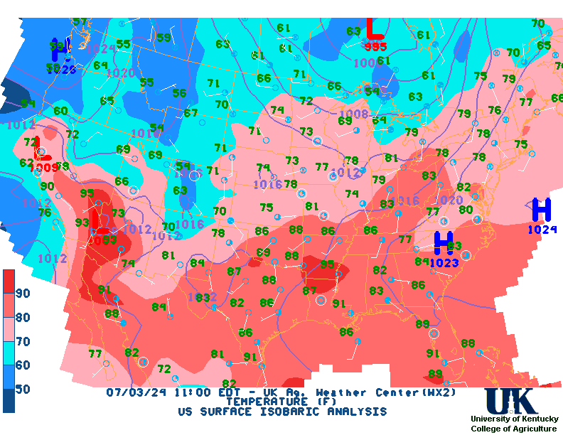
Current Agricultural Weather Conditions in Georgia Based on observations at 200pm EDT, Wednesday October 02, 2024 Across Georgia...temperatures are near 82 degrees north, near 86 degrees central, and near 89 degrees south. Current sky conditions are fair north, fair central, and fair south. In the north, relative humidity is near 52%, and the dew point is near 63 degrees. In the central part of the state, relative humidity is near 47%, and the dew point is near 64 degrees. In the south, relative humidity is near 46%, and the dew point is near 66 degrees. The heat index is near 91 degrees south. Winds are from the south at 6 mph north, where conditions are favorable for spraying. Winds are from the north at 7 mph central, where conditions are favorable for spraying. Winds are variable at 5 mph south, where conditions are favorable for spraying. Based on current available observations, the highest temperature is 89 degrees at Valdosta. The lowest temperature is 77 degrees at Kennesaw.
Current NOWCAST not available: Nowcasts are not issued routinely during fair weather. Only when precipitation or other significant weather is occuring in this county will these forecasts be issued. Currently, there is no short term forecast in effect. Hazardous Weather Outlook For County,GA 1043 AM EDT Wed Oct 2 2024 DAY ONE This Afternoon and TonightThe probability of widespread hazardous weather is low. Minor to moderate flooding will continue along the Ocmulgee, south of Macon. DAYS TWO THROUGH SEVEN Thursday through Tuesday River flooding will continue along the Ocmulgee south of Macon through the end of the week. SPOTTER INFORMATION STATEMENT Spotter activation is not requested at this time.
7-Day Forecast For County, GA Issued at 1104 AM EDT Wed Oct 2 2024 THIS AFTERNOON TONIGHT THURSDAY THURSDAY NIGHT FRIDAY FRIDAY NIGHT SATURDAY SATURDAY NIGHT SUNDAY SUNDAY NIGHT MONDAY MONDAY NIGHT TUESDAY
Medium & Long Range Outlook For Georgia
                              GEORGIA
                 ---------------------------------------------
                 6 TO 10 DAY  8 TO 14 DAY   30 DAY    90 DAY
                    OCT 7-11     OCT 9-15    JUN       JUN-AUG
                 -----------  -----------  --------  ---------
   Temperature:     Normal       Normal
 Precipitation:      Above        Above

....  Medium and long range outlooks provided by NCEP/K. Thomas Priddy
Almanac Information Historical Weather And Climate Facts For Today --------------------------- OCTOBER 2ND HISTORIC WEATHER EVENTS ...1882... An early season windstorm over Oregon and northern California blew down thousands of trees and caused great crop damage in the Sacramento Valley. (David Ludlum) ...1898... A hurricane struck the Georgia coast washing away Campbell Island. (David Ludlum) ...1959... A tornado struck the town of Ivy VA (located near Charlottesville). Eleven persons were killed, including ten from one family. (The Weather Channel) ...1980... The temperature at Blue Canyon CA soared to 88 degrees, an October record for that location. (The Weather Channel) ...1981... Severe thunderstorms raked Phoenix AZ with heavy rain, high winds, and hail up to an inch and a half in diameter, for the second day in a row. Thunderstorms on the 1st deluged Phoenix with .68 inch of rain in five minutes, equalling their all-time record. (The Weather Channel) ...1987... A fast moving cold front produced snow flurries from Minnesota to the Appalachian Mountains, and gale force winds behind the front ushered cold air into the Great Lakes Region. Valentine NE reported a record low of 25 degrees. Temperatures recovered rapidly in the Northern High Plains Region, reaching the lower 80s by afternoon. Jackson WY warmed from a morning low of 21 degrees to an afternoon high of 76 degrees. (The National Weather Summary) ...1988... Early morning thunderstorms in Georgia produced three inches of rain at Canton and Woodstock. (The National Weather Summary) ...1989... Flooding due to thunderstorm rains in the southeastern U.S. on the last day of September and the first day of October caused the Etowah River to rise seven feet above flood stage at Canton GA. Thunderstorms produced up to ten inches of rain in northeastern Georgia, with six inches reported at Athens GA in 24 hours. One man was killed, and another man was injured, when sucked by floodwaters into drainage lines. (The National Weather Summary) (Storm Data)
Ag Weather Center, Department of Biosystems & Agricultural Engineering, University of Kentucky | ||||||||||||


![[2nd Source TWC]](http://maps.weather.com/images/maps/current/curwx_720x486.jpg)