A joint service of the UK Ag Weather Center and the National Weather Service.
National Weather Service Nashville TN
1106 AM CDT Wed Oct 2 2024

...New SHORT TERM, LONG TERM...

.SHORT TERM...
(Rest of today through Thursday)
Issued at 1037 AM CDT Wed Oct 2 2024

Areas along the Tennessee River and along the Alabama border are
enjoying full sun while locations north and east of there are
socked in with low stratus. Visible satellite does show the
stratus layer is thinning and slowly eroding. Expect sun to show
up for all of the area this afternoon. Temperatures have been
noticeably cooler this morning after the cold front went through
last night. Temperatures this afternoon should end up in the 70s
area wide. Clear skies, calm winds, and low dew points depressions
will mean more fog tonight. Some models are showing the potential
for some areas of dense fog near dawn especially along the
plateau. Once any fog mixes out tomorrow morning, plenty of sun
will return. Temperatures will bounce back as we gain a weak
southerly fetch. Highs tomorrow will be 7-10 degrees warmer than
today.
 National Ag. Weather Outlook, International Ag. Weather Summary National Ag. Weather Outlook, International Ag. Weather Summary
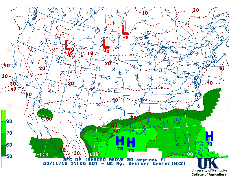
Current Surface Map,
[2nd Source TWC]
Click here for UKAWC Point Agricultural, Lawn & Garden Forecast/Outlook in case of corrupt tables.
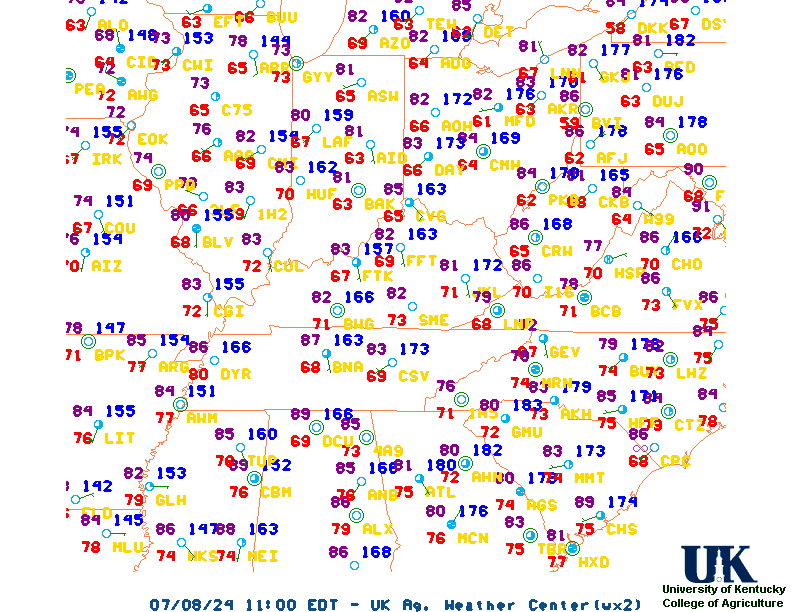
Regional Hourly Observations For County
Current Temperatures,
Dewpoint,
RH,
Wind,
Regional Obs,
Surface 4-Panel
Current Agricultural Weather Conditions in Tennessee
Based on observations at 1100am CDT, Wednesday October 02, 2024
Across Tennessee...temperatures are near 71 degrees west and near 65 degrees central. Current sky conditions are sunny west and cloudy central. In the west, relative humidity is near 49%, and the dew point is near 51 degrees. In the central part of the state, relative humidity is near 75%, and the dew point is near 57 degrees. Winds are from the east at 5 mph west, where conditions are favorable for spraying. Winds are from the north at 7 mph central, where conditions are favorable for spraying. Winds are unavailable east. Based on current available observations, the highest temperature is 72 degrees at Jackson. The lowest temperature is 65 degrees at Nashville.
Current NOWCAST not available:
Nowcasts are not issued routinely during fair weather. Only when
precipitation or other significant weather is occuring in this county will these
forecasts be issued. Currently, there is no short term forecast in effect.
US Radar,
All NWS Radars (In near-real time),
Current Livestock Heat Stress Index (LSI),
Current Wind Chill Map
Hazardous Weather Outlook For County
Hazardous report currently not available
NWS Severe Weather Map , Convective Outlook
7-Day Forecast For County, TN
258 AM CDT Wed Oct 2 2024
TODAY
Sunny. Highs in the lower 70s. Northeast winds around
5 mph.
TONIGHT
Clear. Lows in the lower 50s. Northeast winds around
5 mph in the evening, becoming light and variable.
THURSDAY
Sunny. Highs in the upper 70s. Southeast winds around
5 mph.
THURSDAY NIGHT
Clear. Lows in the upper 50s. Light and
variable winds.
FRIDAY
Sunny. Highs in the mid 80s. Northeast winds around
5 mph.
FRIDAY NIGHT
Clear. Lows in the lower 60s.
SATURDAY
Sunny. Highs in the mid 80s.
SATURDAY NIGHT
Mostly clear. Lows in the lower 60s.
SUNDAY
Sunny. Highs in the mid 80s.
SUNDAY NIGHT
Mostly clear. Lows in the mid 50s.
MONDAY
Sunny, cooler with highs in the lower 70s.
MONDAY NIGHT
Clear. Lows in the upper 40s.
TUESDAY
Sunny. Highs in the lower 70s.
12-48 Hr Surface Forecast Maps,
TWC 4-Panel Surface Forecast,
Fire Danger,
Day 1 Precip,
Day 2 Precip,
Days 1-5 Precip,
Severe Weather Pot.-Day 1,
Day 2
Medium & Long Range Outlook For Tennessee
                            TENNESSEE
                 ---------------------------------------------
                 6 TO 10 DAY  8 TO 14 DAY   30 DAY    90 DAY
                    OCT 7-11     OCT 9-15    JUN       JUN-AUG
                 -----------  -----------  --------  ---------
   Temperature:     Normal       Normal
 Precipitation:      Below        Below

....  Medium and long range outlooks provided by NCEP/K. Thomas Priddy
5 Day Rainfall Forecast,
6 to 10 Day ,
8 to 14 Day ,
Text,
30-Day Outook,
90-Day Outook,
120-Day Outlook
Almanac Information
Historical Weather And Climate Facts For Today
---------------------------
OCTOBER 2ND
HISTORIC WEATHER EVENTS
...1882...
An early season windstorm over Oregon and northern California blew down
thousands of trees and caused great crop damage in the Sacramento Valley.
(David Ludlum)
...1898...
A hurricane struck the Georgia coast washing away Campbell Island. (David
Ludlum)
...1959...
A tornado struck the town of Ivy VA (located near Charlottesville). Eleven
persons were killed, including ten from one family. (The Weather Channel)
...1980...
The temperature at Blue Canyon CA soared to 88 degrees, an October record
for that location. (The Weather Channel)
...1981...
Severe thunderstorms raked Phoenix AZ with heavy rain, high winds, and hail
up to an inch and a half in diameter, for the second day in a row.
Thunderstorms on the 1st deluged Phoenix with .68 inch of rain in five
minutes, equalling their all-time record. (The Weather Channel)
...1987...
A fast moving cold front produced snow flurries from Minnesota to the
Appalachian Mountains, and gale force winds behind the front ushered cold
air into the Great Lakes Region. Valentine NE reported a record low of 25
degrees. Temperatures recovered rapidly in the Northern High Plains Region,
reaching the lower 80s by afternoon. Jackson WY warmed from a morning low
of 21 degrees to an afternoon high of 76 degrees. (The National Weather
Summary)
...1988...
Early morning thunderstorms in Georgia produced three inches of rain at
Canton and Woodstock. (The National Weather Summary)
...1989...
Flooding due to thunderstorm rains in the southeastern U.S. on the last day
of September and the first day of October caused the Etowah River to rise
seven feet above flood stage at Canton GA. Thunderstorms produced up to ten
inches of rain in northeastern Georgia, with six inches reported at Athens
GA in 24 hours. One man was killed, and another man was injured, when
sucked by floodwaters into drainage lines. (The National Weather Summary)
(Storm Data)

Ag Weather Center, Department of Biosystems & Agricultural Engineering, University of Kentucky
|


![[2nd Source TWC]](http://maps.weather.com/images/maps/current/curwx_720x486.jpg)