Click Image to Enlarge

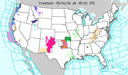
NWS Severe Thunderstorm Watches and Warnings boxes drawn in
BLUE
NWS Tornado Watches and Warnings boxes drawn in RED
UCAR 48,
NWS 48,
NWS day 3-7,
Fire Wx :
W,
C,
C,
C,
E,
GFS,
15 Day Jetstream,
RUC Comp.,
SPC Meso.,
72 hrs,
3 day Precip,
Today,
NDFD,
3Z,
All-Z,
NHC,
SNOW:
Day1-4,
Day2-4,
Day3-4,
Day1-8,
Day3-8,
Snow-ICE,
Day 2,
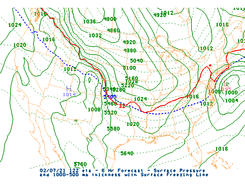
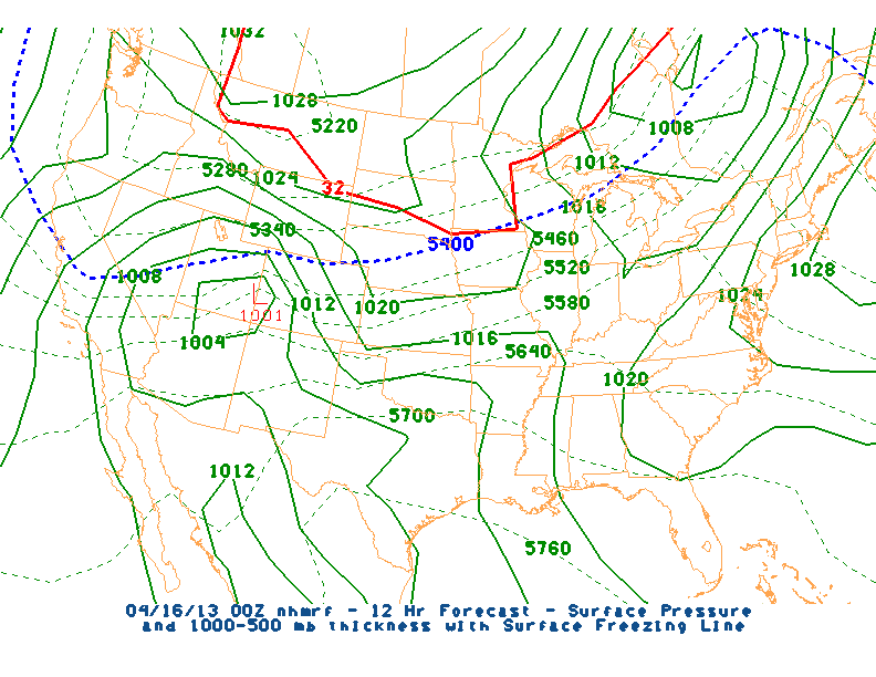
HPC,
Global (USN),
e-wall (PSU),
6 hr Radar(PSU),
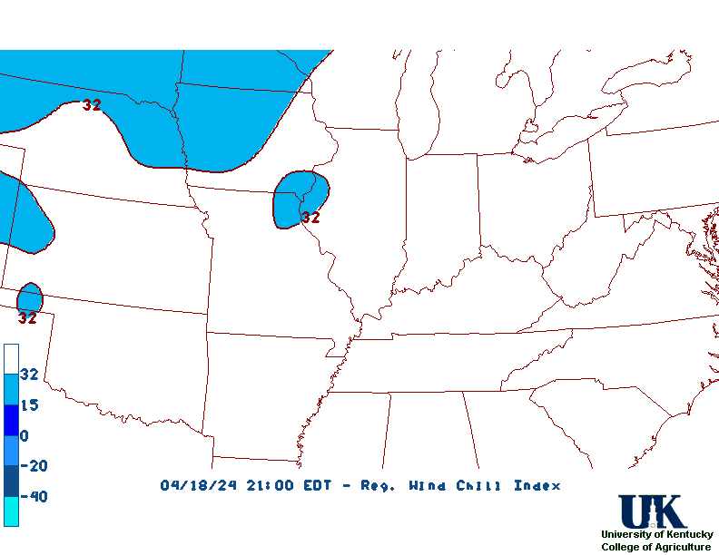
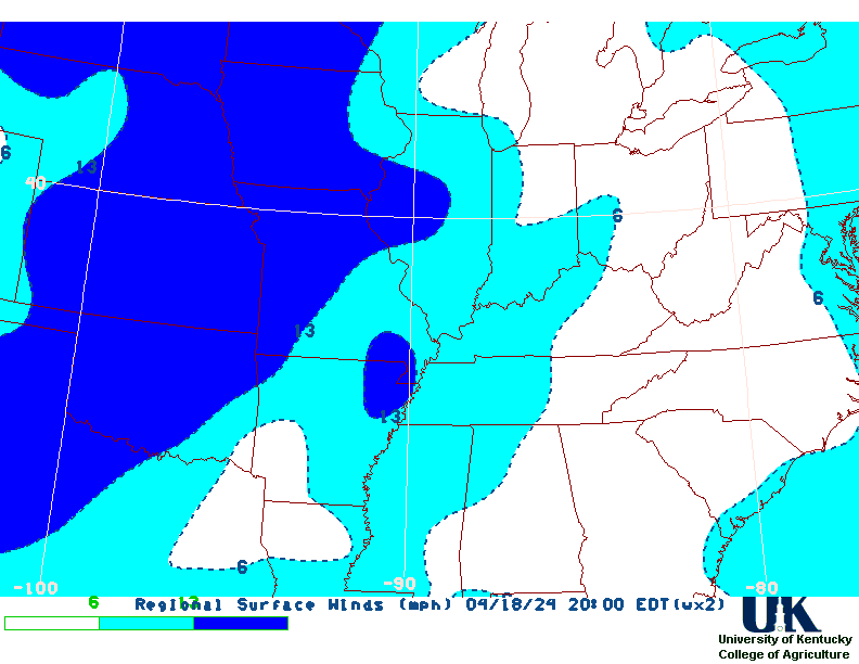
Reg Sfc,
Sfc,
IR,
sfc/sat/rad,
Haby,
All Maps,
Vertical Cross-Sections,
T-storm Outlook: Today,
Day 2,
WxSevKy,
By county. ,
RSS feed. ,
P-MOS,
L-MOS,
J-MOS,
AFM's
Termology,
Data for CRP
PAH,
LMK,
JKL,
Wy Upper Air,
AMS ,
Reg. Lightning loop ,
UKAWC ONLY:Nat. Lightning
Reg.Lightning Loop
|

